Our Ongoing Projects
At various times, Partners for Clean Streams has offered various technical services related to watershed planning, stormwater planning, and management of waterway project data. A few of our ongoing technical projects are enumerated below.
NPS-IS Planning
A NPS-IS is a living strategic planning document that summarizes causes and sources of environmental harm or impairment, identifies specific objectives to address the causes and sources of impairment, and describes projects designed to meet those objectives.
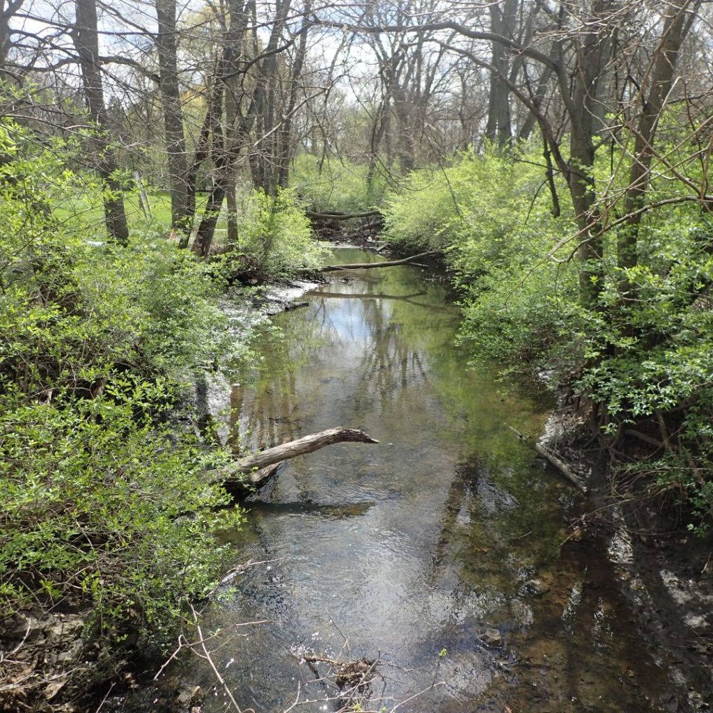
“Nonpoint Source-Implementation Strategy,” also known as a 9-Element Watershed Plan, may sound like a mouthful, but we’re here to explain! Some sources of pollution are confined and discrete, like a smokestack or discharge pipe. These are called “point sources.” Other types of pollution have more difficult-to-define origins, released over a wide area. These are called “nonpoint sources.” Nonpoint source pollution includes things like excess fertilizers, road salt, bacteria from livestock or pet waste, sediment from improperly managed construction sites, or urban runoff like motor oil.
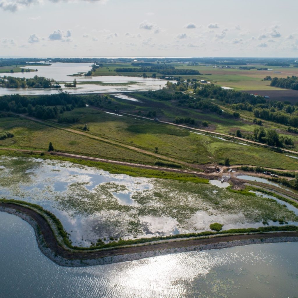
Each NPS-IS addresses a specific watershed, called a HUC-12, which makes up a portion of our regional drainage basin into Lake Erie. You can your local waterway’s HUC-12 using Ohio EPA’s interactive map.
PCS has coordinated NPS-IS preparation and public feedback on plans throughout the Maumee AOC.
Data Management and Delisting System (DMDS)
The Data Management and Delisting System (DMDS) was built by Partners for Clean Streams in cooperation with Ohio EPA. The DMDS is designed to share information, maintain collaboration, and communicate the status of the Maumee Area of Concern.
Various modules allow users to learn more about the current status of Beneficial Use Impairments (BUIs), view details on projects addressing BUIs, access BUI data sources, and utilize a resource library on information related to the Maumee Remedial Action Plan (RAP) and AOC. These resources include documents, reports, GIS data sets, maps, charts, and photos.
PCS consulted to create and currently maintains the DMDS.